

Even that was a massive technological improvement from the days prior, when you had to buy an entire book of your city, or part of the city if you lived in a large city, and then plot your own course, and write directions down, or follow a tiny map in the book as you drove.
I remember the first time I used MapQuest and I was absolutely amazed that it could just figure out the route automatically.
i used to have to buy printed maps from the magazine racks at the grocery stores back in the 80s
Oohhhh I forgot about those!!!
And you had to figure out how to fold those.
Forgot about that half the time something was folded wrong
i have a shoe box full of them. every time i think about throwing them out, i can’t. some of them are the nice laminated ones!
Oh that’s nothing. Before then we had to commit landmarks to memory and just call back on it as you’re driving.
I’d just use good old maps. Had a provincial one in my car plus a few city maps. Actually still have them there just in case I need to fall back.
Hell, I even delivered pizza in a city I lived in for a while but wasn’t very familiar with. Most deliveries involved looking for the street name in the index and getting grid coordinates to find it on the map on the wall of the place I worked, which I then related back to a street I knew how to get to and I memorized the last part to get to the side street I’d never heard of before that.
Only reason I started using Waze was after getting my last speeding ticket and deciding it was time to get that app I’d read about where police traps were crowd sourced. I like still having that general sense of direction so that following the suggested route is optional for getting to be final destination (though it does also help having a map to be able to check what side streets are connected).
Everyone ought to try driving somewhere they haven’t been before without bringing gps or even printed maps.
Look at a country/state map to get an idea of the general direction beforehand, but then otherwise just drive there and follow the signs as you get closer.
That’s pretty much how I do it. The interstates in the US make it simple to get to just about any major city, and friends might boggle a bit, but they can tell you what the minor highway/street you need to look for and give you a landmark.
…It really drives home how the old horror movies weren’t unrealistic in folks getting lost randomly.
I remember the 80s or early 90s, where there were phonebooks in pay phone booths. The first or last pages were maps of the local area and an index of street names, so if you needed to find “groove street” it would be on map 5 section F3.
I remember navigating for my dad as a kid using a physical street map. It was a great feeling tracking your position on the map and telling the driver what turn to make next.
But nothing beats the convenience of having a small rectangle that automatically calculates routes for you, especially when travelling alone.
Great Mapquest story: my two friends and I were driving from Gainesville Fl to Tuscaloosa, Al to visit another friend in college. I was in charge of the ‘quest, and we had the directions set on when to light the 6 blunts we rolled for the drive (aligned with the longest periods without having to turn, 70+ miles on the highway, etc).
Well, I missed the 0.2mi immediate exit before the 125mi straightaway and lit that next blunt. Long story short, we went like a hundred miles in the wrong direction because I told him we were good for a couple of hours.
My B
Before MapQuest, you’d carry around a six county atlas, and a state map. If you had to go somewhere outside the metro area, you’d use the state map to get to the city, then stop at the first gas station you saw there to look at their map on the wall, or ask to look at their phone book for the map in there.
Ew, people.
We had those big red atlases (Atli?) with the glossy covers from over half the US states, and smaller maps for all the counties in Virginia, NC, SC, and about half of TN. Huge ass stack of em in both door panels, under each seat, and several on the back seat. My brother collected them whenever he could. I think he’s still depressed he never finished his collection before giving up and finally getting a gps (only like 2 years before decent smart phone gps)
Atli
I’m pretty sure the proper form is Atlapodes.
Gonna split the difference. Atlapodii
I’m just gonna do the English thing and mix my Latin and Greek without carrying about form or origin. We can settle for Atlapodae, or Atlasae.
The singular isn’t “atlus.” Atlases is correct.
Nope, up thread we figured out the correct form. Atlapodii.
Better yet, stop at the rest stop at the state border and pick up a free state map, which included insets of the large cities.
Pro tip: Those maps are still there.
They never restock them though. Somehow they are always out. (At least for the last few years they have been)
However, you can use OSM offline pretty easily and if you want a physical map you can print it. (For those of us who want control)
I know, but my phone is more convenient.
It was pretty great. Tried to have me drive through a city park lake once to get to a movie theater I hadn’t been to before. A+
I am astounded people managed to drive around Japan without gps. The signage is awful here. Even with gps it can be a struggle at times.
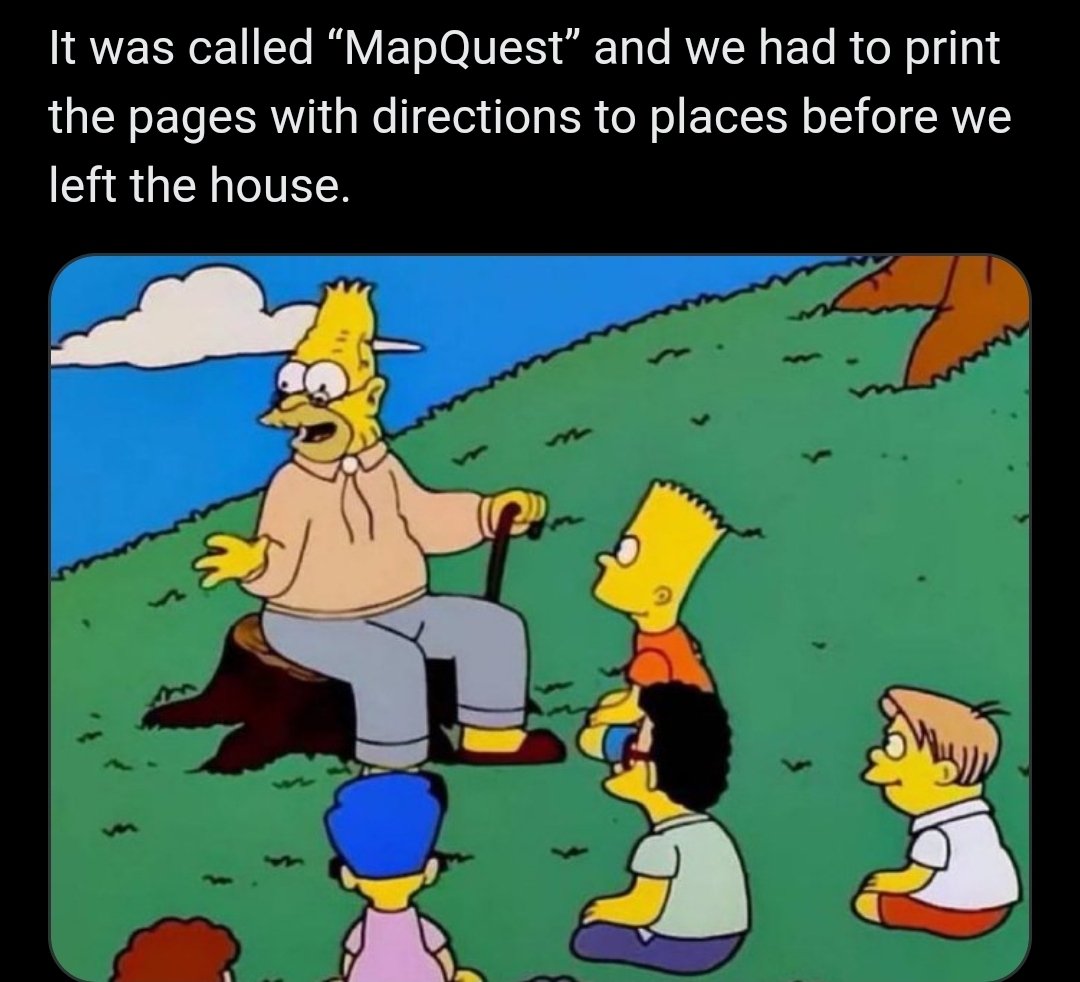
Haha yeah. MapQuest. That’s old school, you silly geezers. Let’s get ya to bed.
Slowly folds up his road atlas hoping no one notices
Fun fact: Michelin stars come from the before times where Michelin would print a yearly road guide with maps and locations and would give stars to the best places. The guide was so popular that getting a Michelin star became a thing. When printed maps ended the stars remained. That’s why a tire company became synonymous with best restaurants
I still keep a state map stowed in the pocket behind the driver’s seat. You know, just in case.
Rand McNally with all the folds <kiss>
Thomas Guide in the city, AAA Trip-Tik for road trips.
Mapquest is still around, they have an app
And the scaling was fucked all to hell.
ViaMichelin!
Then offline GPS, I had Navigon installed on a Windows Mobile PDA with a Sirfstar3 receiver. It gave terrible directions.


