

Welcome to today’s daily kōrero!
It doesn’t have to be me making the thread, first in first served. If you are here on a day and there’s no daily thread, feel free to create it!
Anyway, it’s just a chance to talk about your day, what you have planned, what you have done, etc.
So how’s it going?
Today I’m processing UAV data of slips from up North. It’s going to be fun!!!
Wow, that does sound fun! So many questions! Do you fly the UAV or does someone else do that? Is it more like a drone or like a light aircraft? What does processing the data involve?
I don’t fly them my colleagues do as they have their part 2 training. I process the data into ortho imagery, mesh, and point clouds and combine with LiDAR data and survey topographical data picked up at the same time as the flights.
This sounds amazing! What kind of tooling do you use to achieve this, and what is the output format? Who consumes this information once it has been refined?
UAVs and modern computers really do enable some incredible things.
yeah it’s pretty cool. We provide a few different deliverables. Mesh usually in a format the client likes e.g. .obj but our preference is Context Capture .3sm / .3sx files they just work nicely for a mesh. We also provide orthorectified/georeferenced imagery (.tif, .jp2, .ecw) and point clouds from the UAV flight. To check the accuracy of the UAV we post process the GPS data against Base station and Survey control we establish on site as well as using LINZ CORRS stations. It’s usually District Councils and Internal Engineers who use the data to design fixes for the road (Slips we do are usually on road corridors) so it’s not that glamourous haha. Recently we’ve also been doing Bridges and Road corridors to digistise into CAD from the UAV data and then design cycleways which is much more fullfilling.
Do you compare to previous records to spot changes in order to find the slips?
I think it’s more reactionary. Come across a slip along the road and (probabaly) as part of the Maintenance NOC it requires surveying so pickup and fly it, lidar use is only really for checking the drone / uav has good data. To answer your question we just use the term UAV but they’re drones, DJI Phantoms or Mavics or some other cool ones like the skydio
Awesome, thanks for explaining!
Things have come on a long way from the early 2000s. Back then my old man was doing the assessments around the Tararua District for all the land that had slipped and it was a case of flying around in a small plane for ages making guesstimates of how much dirt had moved :)
editing to add he was the passenger, seeing the state of some of his fence posts and fences i’m glad he wasn’t the pilot in the plane given the damage he can do in a tractor.
Haha awesome !!!3
All those storms lately, I’m guessing you’ll have a lot to sort through. Cool job though!
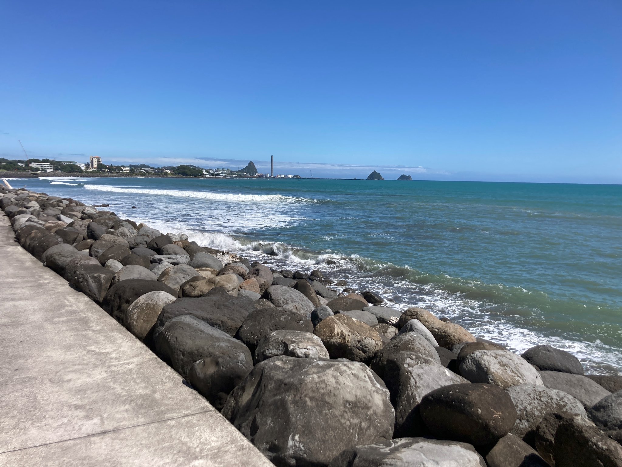
Yes there is a lot. We are helping out our office up that way I’m Taranaki based.